RTK, or Real-Time Kinematic, is a corrective surveying technique used by many Global Navigation Satellite Systems (GNSS)/Global Positioning Systems (GPS) to greatly improve the accuracy of their receivers. Compared to conventional satellite navigation systems (which have a positional accuracy of about two to four meters), RTK capable systems are roughly 100 times more accurate.
Using carrier-based ranging, RTK-capable receivers provide real-time positional corrections at up to centimeter-level accuracy to ameliorate common location data errors that persist in traditional GNSS/GPS. Depending on the sophistication of the RTK receiver, these precision corrections are outputted from at least once per second to up to 20 times a second.
Are There Attachable/Detachable RTK Modules for Drones?
As more industries are adopting drones to augment existing operations, the demand for more capable drones has increased as well. While certain enterprise-class drones have integrated RTK modules, some drone manufacturers (such as DJI and Autel) also offer attachable/detachable RTK modules for compatible drones within their lineup. These attachable/detachable RTK modules provide significant enhancements to the positional accuracy and capabilities of compatible drones.
What Is the Difference Between RTK and PPP?
Precise Point Positioning, or PPP, is a competing positioning technique to RTK. Although not as accurate as RTK, PPP can make positional calculations that are accurate up to a few centimeters under ideal conditions. PPP has gained popularity in recent years amongst manufacturers of satellite navigation systems specifically for applications requiring less precision than what RTK can provide. According to the European Space Agency, PPP calculates global positional data by “combining precise satellite positions and clocks with un-differenced, dual-frequency (to remove the first order effect of the ionosphere), pseudorange and carrier-phase GNSS (global navigation satellite system) observables.”
The main differences that separate Real-Time Kinematic (RTK) and Precise Point Positioning (PPP) solutions are as follows:
- RTK systems require the use of a single base station receiver in conjunction with one or more mobile receivers (commonly referred to as rover stations). Meanwhile, PPP systems do not require the use of any base stations, instead relying on precise satellite orbit and clock data
- Consequently, PPP systems typically have lower equipment and operating costs since they do not require the use of base and rover stations
- RTK systems provide a higher degree of accuracy compared to PPP systems (centimeter-level accuracy in RTK systems vs decimeter-level accuracy in PPP systems)
- PPP systems provide absolute positioning data while RTK systems provide relative positioning data
- RTK solutions typically have significantly faster convergence times (some taking mere seconds) compared to PPP solutions, which can take anywhere from 20 to 40 minutes or more
- PPP systems are a viable alternative to RTK systems when RTK coverage in the target area is limited or non-existent
What Is the Accuracy of RTK?
RTK is a highly accurate corrective surveying technique. Typical receivers using RTK can calculate their relative position with an accuracy of up to 1 cm ± 1 parts per million (ppm).
RTK Applications in the Real World:
Public Safety
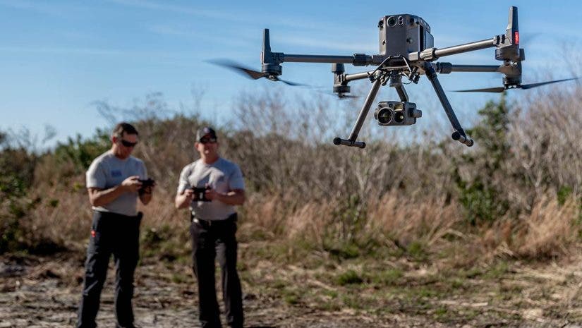
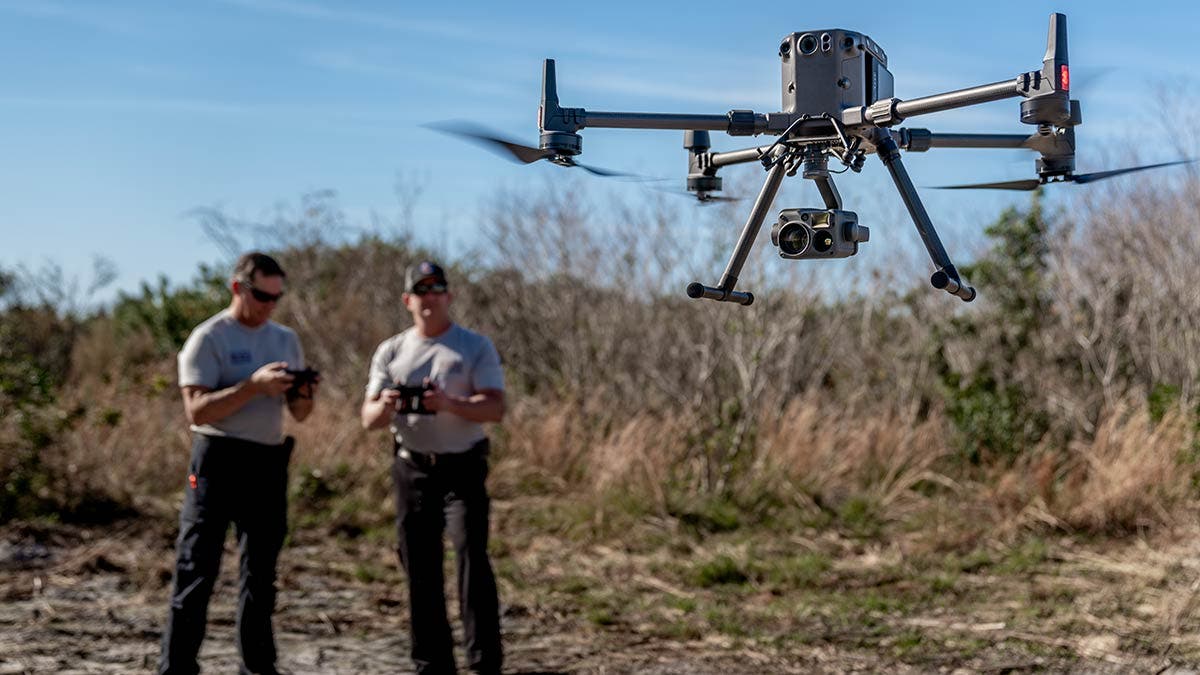
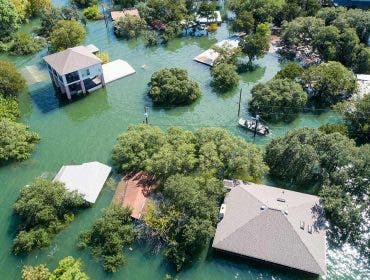
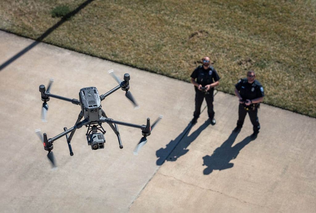
Many public safety agencies are increasingly relying on UAVs to carry out mission-critical operations such as tactical reconnaissance and scene documentation. RTK capable drone systems further augment the aerial capabilities of public safety agencies by providing highly accurate positional data to operators in real time. This is specifically well suited for 2D and 3D mapping of crime scenes, traffic accidents, emergency management of disaster areas, as well as other operations that necessitate the comprehensive gathering of precision location datasets.
Farming
Although manual labor may be what comes to mind for many when they think of farming, there is a ton of cutting-edge technology and automation involved when it comes to modern agriculture. RTK is one such technology that plays an integral part in what makes modern agriculture possible. In addition to ensuring the accuracy of vegetation mapping, geological surveys, as well as agricultural inspections, RTK systems also provide accurate location data to help farmers determine how and where to seed crops most efficiently and to decide the optimal placement for drainage and irrigation systems. RTK also allows self-driving tractors and other precision farming systems to operate in the fields without the need for farmers to be in the cab.
Surveying/Mapping
Land surveying has been around since ancient times, but the practice can still be challenging in hard-to-reach locations around the globe. Thankfully, the high degree of accuracy that RTK provides has greatly revolutionized the practice. RTK capable drones make it possible for surveyors to accurately survey and map out even the most remote locations around the globe, such as elevated mountainous regions fraught with rapid, unpredictable changes in weather and other treacherous conditions, without needing to put themselves in harm’s way.
Inspections
Similar to surveying and mapping, the inclusion of RTK technology in commercial inspection drones has helped to make remotely operated inspections safer and easier. The real-time precision location data that RTK drones provide allows remote inspection personnel to quickly and accurately pinpoint potential weaknesses within the infrastructure. This in turn helps ensure that maintenance is carried out efficiently, preventing potential catastrophic failures from occurring.
Best RTK Drones:
DJI Matrice 300 RTK
The DJI Matrice 300 RTK is the company’s latest RTK capable commercial drone platform, combining up to 55 minutes of flight time, dual controller operation, 6 Directional Sensing & Positioning, advanced AI capabilities like AI Spot-Check and Smart Track subject tracking, real-time auto-switching between 2.4 GHz and 5.8 GHz frequencies, and more into a single package.
DJI Phantom 4 RTK
The DJI Phantom 4 RTK combines the much-loved Phantom 4 drone platform with a newly designed RTK module, allowing it to efficiently gather centimeter-level accurate positioning data in real time. The Phantom 4 RTK is an ideal low-altitude compact drone solution for industries with complex surveying, 3D mapping, and inspection workflows.
Autel Robotics EVO II Pro RTK 6K
The Autel Robotics EVO II Pro RTK 6K bundle pairs the drone’s 1-inch CMOS sensor, 20MP camera, and 6K Ultra HD video to create professional aerial images. It’s both light and portable (it weighs 2.72 pounds with the propeller and battery), and can be deployed for mission work using a host of intelligent features.
