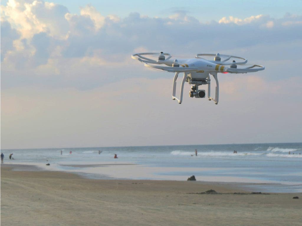
Surveying has come a long way. It started with traditional tools like theodolites and measuring tapes. But now, drones (otherwise known as unmanned aerial vehicles) are the go-to tech for surveyors. They changed how we map, measure, and understand the earth. This guide will walk you through the essentials of how drones improve surveying accuracy.
What features should I look for in a surveying drone?
Overlaying GPS data
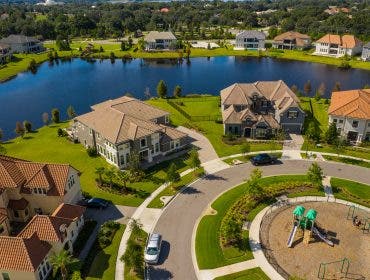
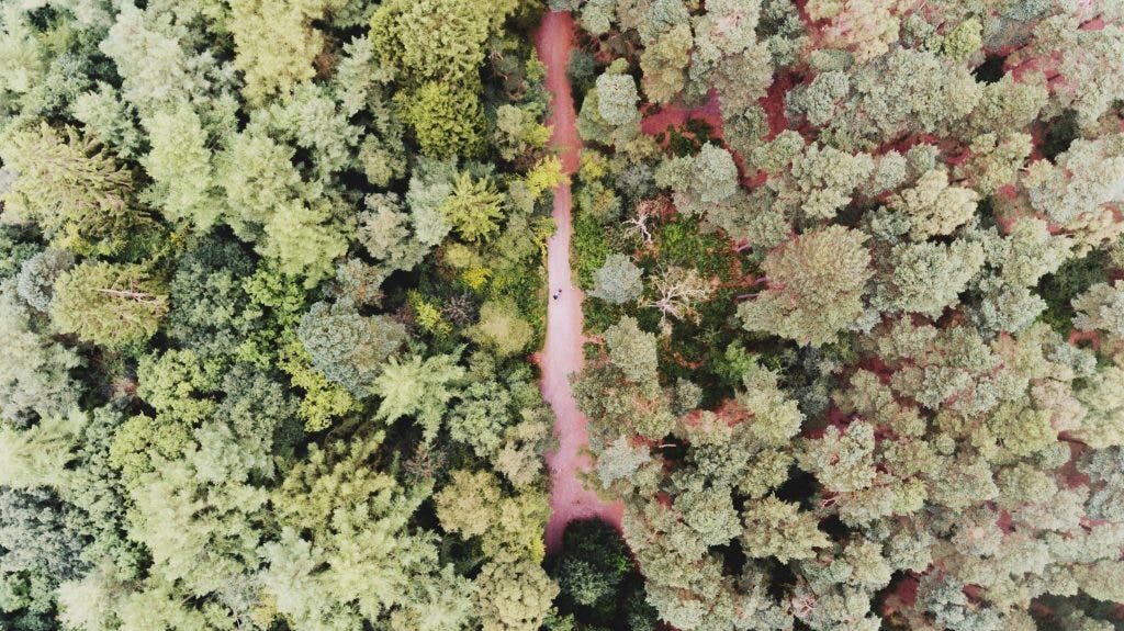
Traditionally, mapping a 50-acre plot of land meant trekking every inch, battling uneven terrain, and the occasional encounter with wildlife. However, with drones, you get an aerial perspective that transforms surveying into a seamless, time-saving task. From above, drones capture vast expanses in a single flight. They reveal patterns and details invisible from ground level.
But, it’s not just the “wow” factor. The secret to how drones improve surveying accuracy is when drones can overlay GPS data with their imagery, creating precise maps and 3D models. Need elevation details? No problem — topographic insights are a standard feature. They’re also lifesavers (literally) in hazardous environments where traditional surveying could pose risks.
High-resolution, smart surveying
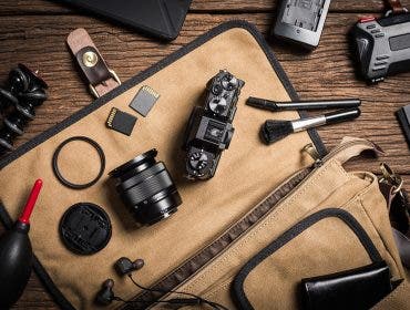
Modern drones come armed with 20-megapixel sensors and even 4K video, and that’s what you should look for. That makes them perfect for photogrammetry, where overlapping images stitch together into stunningly detailed maps. You get to easily capture every crack, contour, and curve of a landscape.
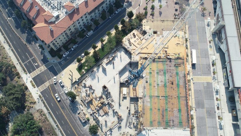
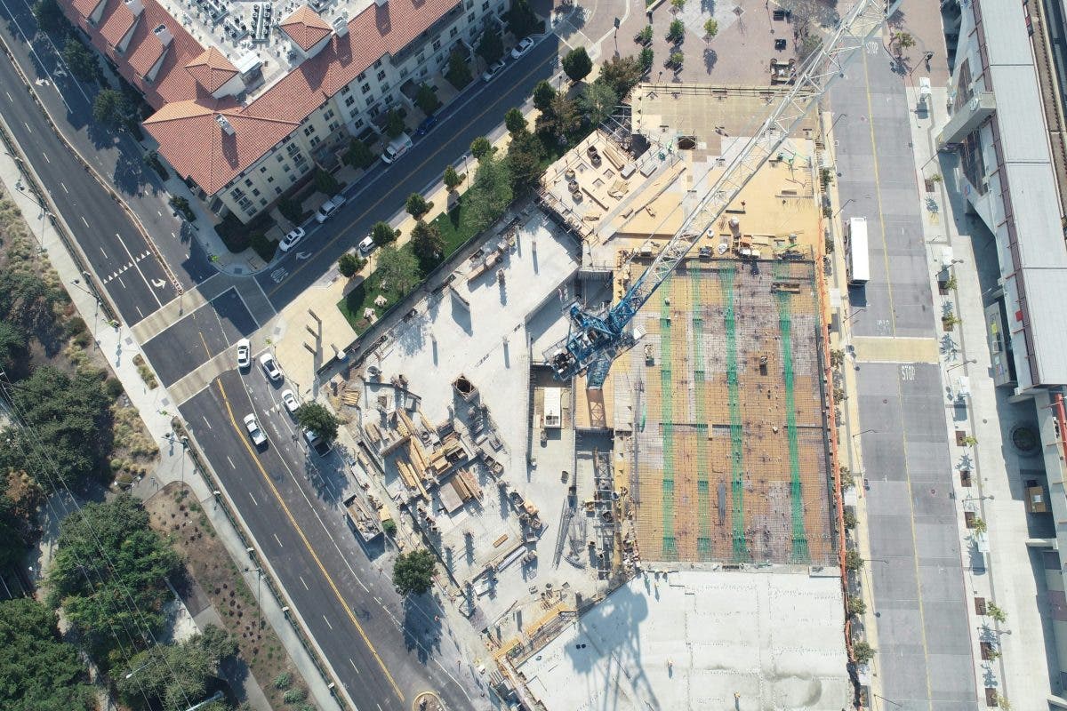
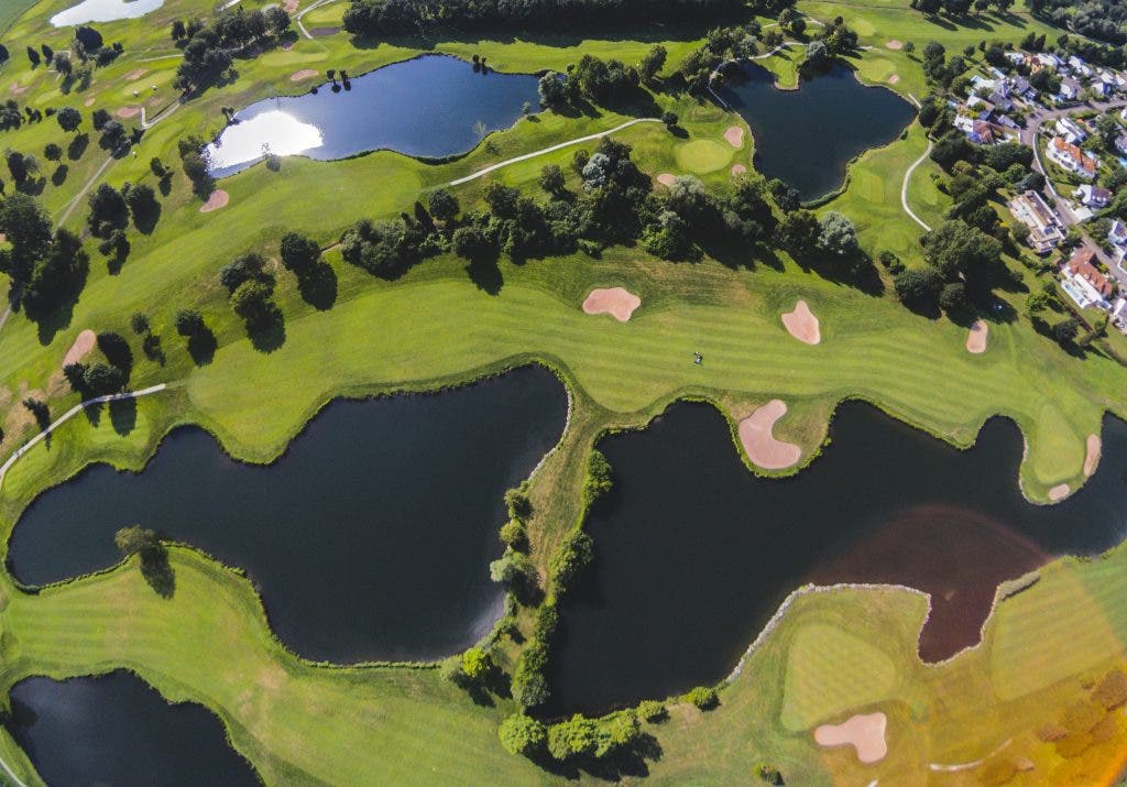
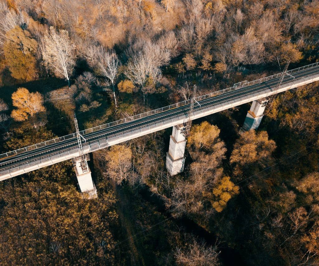
Need to inspect a bridge for cracks or survey a forest canopy? Drones deliver. In industries like construction, they’re indispensable for monitoring progress. Meanwhile, in agriculture, find drones that can detect crop health with multispectral sensors. If they have high-resolution imaging, that means you get data-rich outputs. Enjoy orthomosaic maps, digital elevation models, or 3D reconstructions.
Access hard-to-reach areas
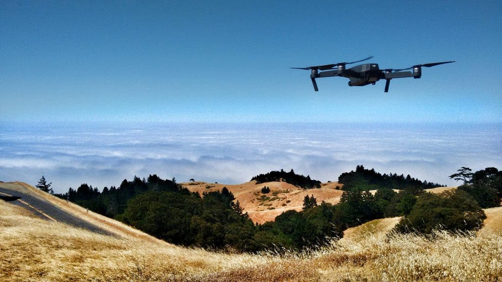
Traditional methods often require climbing gear, scaffolding, or heavy machinery. The drones you want, on the other hand, should be able to zoom through tight spaces, hover over unstable ground, and squeeze into confined zones with finesse. And they shouldn’t tire out until much later (unlike the rest of us, mere mortals).
For industries like mining or disaster management, how drones improve surveying accuracy is straight-up indispensable. They should be able to assess hazards, identify unstable zones, and even assist in search and rescue operations. Armed with LiDAR or thermal imaging, they detect subsurface anomalies or measure heat signatures — all without breaking a sweat (or a propeller).
What are the best drones for surveying land?
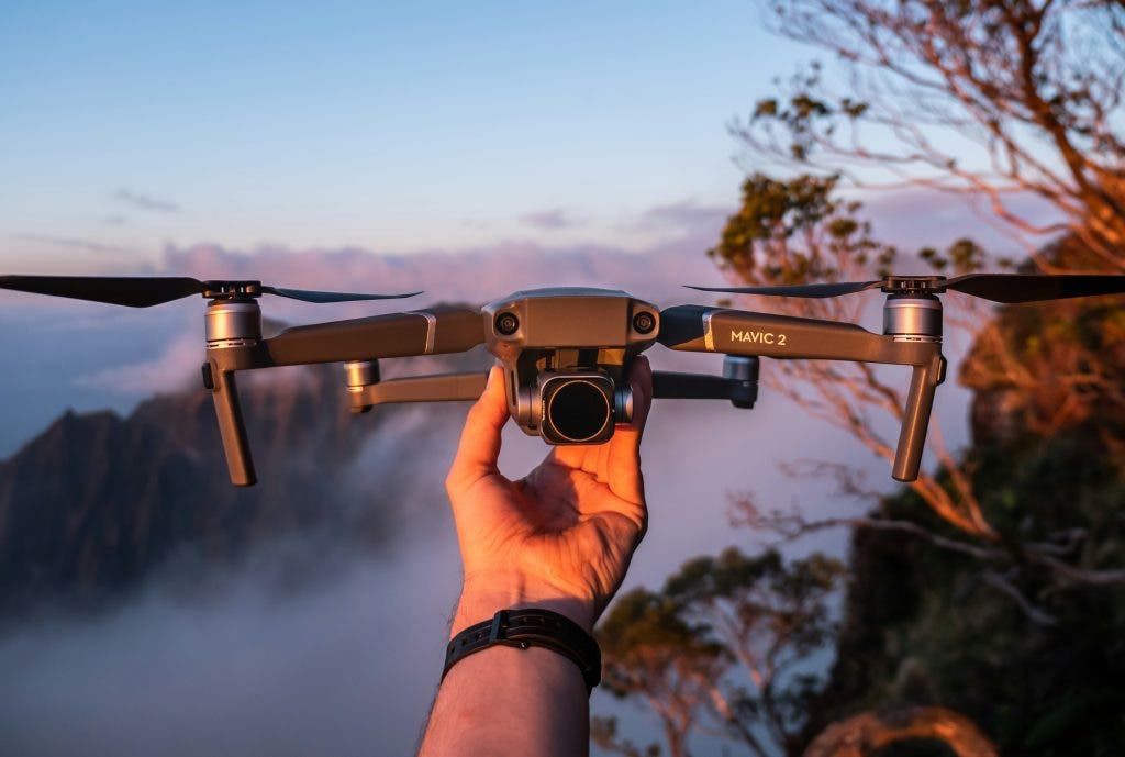
When it comes to the best drones for surveying, a handful of models stand out in 2024.
Autel Robotics Evo II V3 Dual 640T RTK
First, let’s talk visuals. With a Sony 1-inch CMOS sensor, this drone delivers jaw-dropping 6K video and 20MP stills. Plus, the adjustable aperture and high ISO mean surveying at dusk is way easier now.
But the Evo II isn’t just a pretty camera in the sky. With a 40-minute flight time and a range of 9 km (thanks to anti-interference tech), it covers serious ground. Oh, and it zips along at 55 mph, making it both efficient and thrilling to fly. Add 360° obstacle avoidance, and you’ve got a drone that’s as smart as it is speedy.
Skydio 2+
The Skydio 2+‘s standout feature? 360° obstacle avoidance. This drone uses six 4K navigation cameras to dodge everything in its path. If precision and safety are your top priorities, this drone’s got your name on it. This drone packs a 4K HDR camera with 12.3MP resolution and 13 stops of dynamic range. Translation? Your footage will look like something out of a sci-fi movie.
The battery gives you 27 minutes of flight time, and the magnetic mount makes swaps quick and hassle-free. With a range of 6 km, it’s perfect for mid-sized survey projects.
Parrot ANAFI Ai Drone
This third drone boasts a whopping 48MP Quad Bayer sensor and HDR10 imaging. Therefore, your maps, 3D models, and photos will look stunningly crisp. The drone’s claim to fame is its 4G connectivity. Unlike other drones that rely solely on Wi-Fi, the ANAFI Ai stays connected even in tricky areas.
Also, it has autonomous photogrammetry and intelligent obstacle avoidance. Need custom flight plans? Its open-source SDK lets you program missions to suit your exact needs. Lightweight, portable, and equipped with an IP-rated weatherproof body, this drone is ready for any challenge.
What regulations apply to surveying with drones?
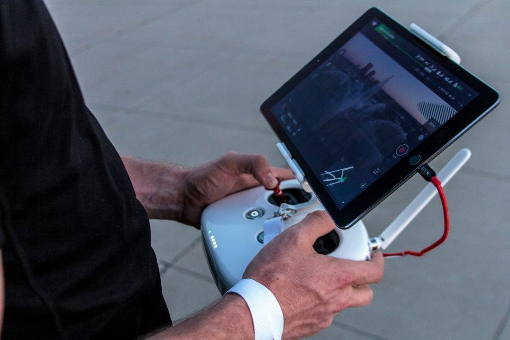
Before launching your drone, you must understand the legal framework in your area. Drones, despite their utility, are subject to strict regulations.
You need licensing requirements.
Most countries require drone operators to earn a Remote Pilot Certificate. In the U.S., this means passing the FAA’s Part 107 exam — a mix of common sense, airspace rules, and a sprinkle of aeronautical jargon. You’ll learn about weather patterns, navigation, and how not to crash into restricted zones (hint: don’t). In Europe, EASA regulations mandate similar certifications based on drone size and intended use.
Don’t worry; it’s not rocket science (literally). Study guides, practice tests, and online courses make the process approachable. Once certified, you’ll gain access to the airspace with confidence and a legal thumbs-up.

No-fly zones
For drones, no-fly zones mean avoiding restricted areas like airports, government facilities, and sometimes even national parks. Why the fuss? Safety, plain and simple. Nobody wants a drone getting in the way of a passenger jet or snooping near sensitive installations. That’s why rules are strict, and ignorance won’t fly (pun intended).
In the U.S., you can check restricted zones with apps like B4UFLY or AirMap, while Europe has its own set of geofencing tools. Want to fly near a restricted area? You’ll need special permission, usually in the form of a waiver or authorization. For example, operating near an airport might require coordination with Air Traffic Control. It sounds daunting, but with the right paperwork, it’s entirely doable.
Oh, and don’t forget temporary restrictions. Events like wildfires, parades, or visiting dignitaries can create pop-up no-fly zones. Keep an eye on local events to avoid an unwelcome surprise mid-flight.
Height and range limits
Most countries cap drone flights 400 feet above ground level. This is to keep drones clear of manned aircraft, like planes and helicopters, that dominate the higher altitudes. Sticking to this ceiling keeps you on the right side of the law and helps prevent heart-stopping mid-air collisions. Need to go higher? You’ll likely need special permission from aviation authorities, but such cases are rare and require a solid justification.
Range limits are another critical aspect. While some drones boast impressive ranges (we’re talking kilometers), most regulations require the drone to remain within visual line of sight (VLOS). So, if you can’t see it, you shouldn’t be flying it.
The future of surveying with drones
As drones continue to evolve, their role in surveying will only expand. With advancements in AI, machine learning, and imaging technology, we’re moving toward fully autonomous surveys with unmatched accuracy.
2024 is the perfect time to embrace this transformative technology. Who knows? Your next drone flight might just map out a brighter future.