
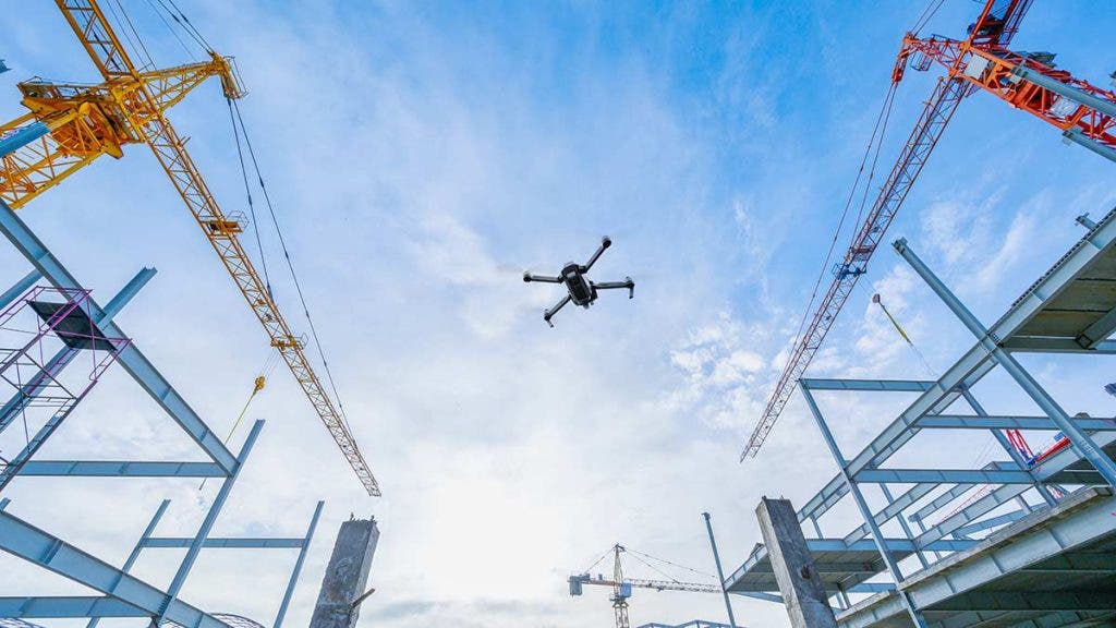
Though traditionally done from fixed-wing aircraft, helicopters, and even hot air balloons, drone surveying is fast becoming the new norm thanks to the rapid advancements we’ve seen introduced in drone and imaging technologies as well as their overall cost-effectiveness. This article serves as a primer for what you need to know about drone surveying.
What Is Drone Surveying?
The National Society of Professional Surveyors (NSPS) defines surveying as “the science and art of making all essential measurements to determine the relative position of points and/or physical and cultural details above, on, or beneath the surface of the Earth and to depict them in a usable form, or to establish the position of points and/or details.”
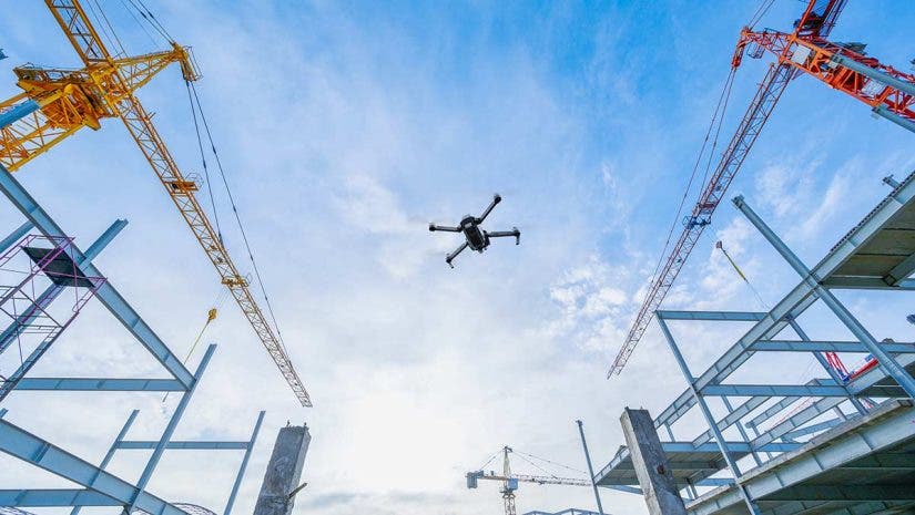
Drone surveying, in its most basic form, is the act of surveying conducted through the use of drones or UAVs (uncrewed aerial vehicles). It is functionally very similar to the practice of aerial surveying, which surveys areas that are impractical or otherwise inaccessible from the ground. Aerial surveying is also ideal for surveying areas with high concentrations of pedestrian or vehicular traffic, as they can prove challenging to surveying via conventional means.
Thanks to the advancements in drone and imaging technologies, drone surveying has replaced the need for traditional aerial surveying using fixed-wing aircraft, helicopters, hot-air balloons, etc. thanks to their cost-effectiveness and accuracy.
How Does Drone Surveying Work?
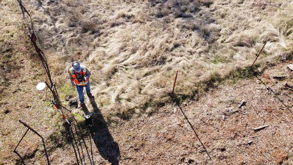
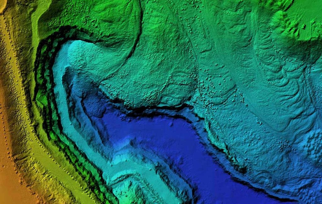
Drone surveying is typically carried out by professional surveyors, civil engineers, and geographic information system (GIS) professionals. While no two surveying projects are identical, the underlying principles for each surveying project share many similarities. Drones are flown over the designated survey area while the various onboard cameras (both visible and multispectral), sensors, and LiDAR capture high-res images, topographical mapping, geolocation data, etc. Surveyors then use this data to produce 2D and 3D maps as well as surface and terrain models.
How Big Is the Drone Surveying Industry?
- The drone surveying industry falls under UAV & Drone segment of the global aerial imaging market.
- As of 2022, the global aerial imaging market is estimated to be worth US $2.7 Billion.
- The global aerial imaging market is projected to grow to US$ 4.6 Billion by 2026 at a CAGR (compound annual growth rate) of 14.7%.
- The U.S. aerial imaging market, which accounts for nearly a third of the global aerial imaging market, is currently estimated to be worth US$ $843.7 Million.
- More specifically, the UAV & Drone segment is projected to grow at a 15.9% CAGR to reach US$2.9 Billion by 2026. (Source: Research and Markets)
How Can Drones Help in Surveying?
Drones are very helpful in surveying due to the following factors:
Cost-Effective
Drones are significantly more cost-effective than traditional surveying projects that require the use of fixed-wing aircraft, helicopters, and even hot air balloons, all considerably more expensive to operate and maintain.
Speed and Ease of Deployment
Drones are also much quicker and easier to deploy when compared to the aforementioned legacy surveying vehicles. You also usually only need a single operator to work them — or even remotely.
Accessibility
Drones allow surveyors to survey challenging areas that are impractical or otherwise inaccessible from the ground. They are also ideal for surveying areas with high concentrations of pedestrian or vehicular traffic, as they can prove challenging to surveying via conventional means.
High Degree of Accuracy
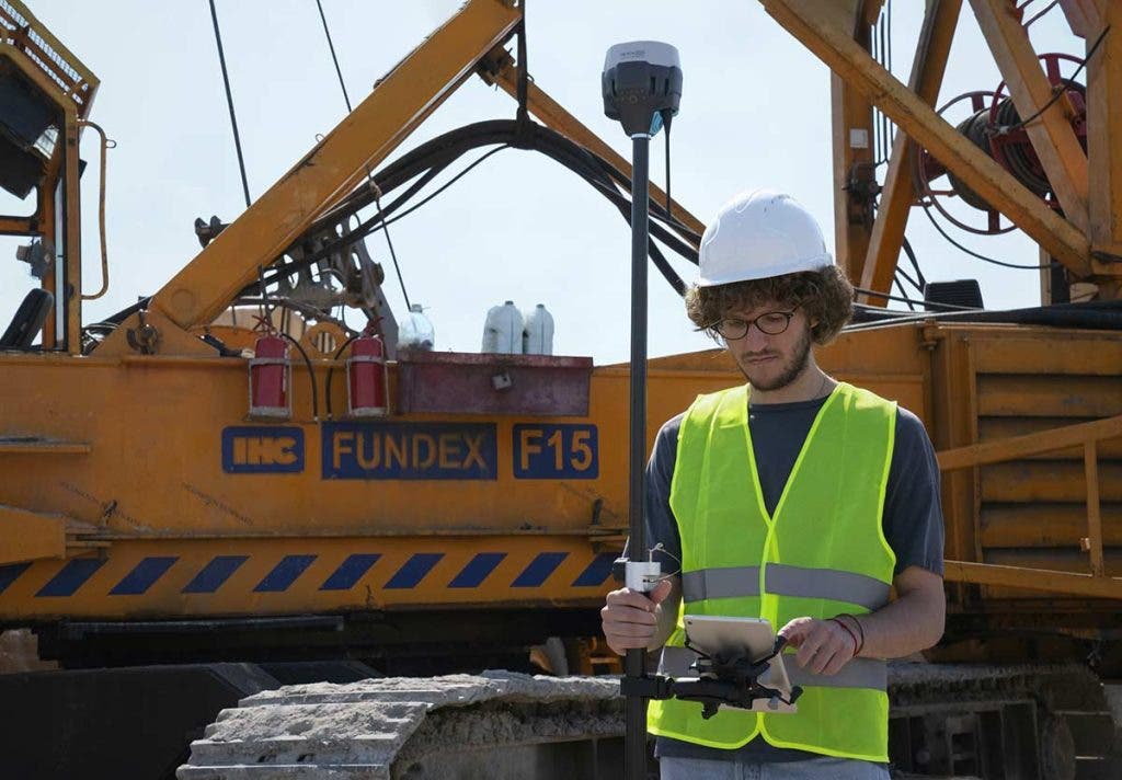
The integration of the latest GPS technologies such as Real-Time Kinematics (RTK), Post-Processed Kinematics (PPK), Precise Point Positioning (PPP), along with high-resolution cameras, sensors, and LiDAR allows drones to gather vast amounts of precise surveying data per flight.
Drone Surveying Industry Pain Points
Despite the many advancements in drone technology, there are still some challenges that drone surveyors need to overcome:
Limited Flight Time
While drones are indeed much more cost-effective to deploy, their compact nature restricts the size of the battery they can carry and consequently limits their flight time. Drone surveyors will need to carry plenty of spare batteries during extended surveying sessions. Traditional aerial surveying vehicles like fixed-wing aircraft, helicopters, and hot air balloons still trump drones in terms of flight time.
Accessibility
While drones allow surveyors to survey locations with challenging terrains that are impractical or otherwise inaccessible from the ground, their limited flight times do negatively affect the ability of drone surveyors to conduct surveys of said locations. To survey these challenging locations, surveyors still need to physically get close enough to the area to fly their drones and maximize their flight time. This necessitates the need for alternate modes of transportation, whereas traditional aerial surveying vehicles can both transport the surveyors and allow them to carry out their surveys while they’re onboard.
Takeoffs and Landings
Quadcopter-style drones typically require a flat, open area to take off and land. Fixed-wing style drones require even more space as their takeoffs and landings require long, straight stretches of flat terrain to serve as runways. This means surveyors will need to scout for suitable terrain near their survey site in advance.
Mother Nature
Sunny days and warm weather are a surveying drone’s best friends. Warm weather means that the drone batteries won’t drain as quickly, leading to longer flight times. Most onboard cameras, sensors, and LiDAR also work their best under sunny conditions. Inclement weather conditions such as severe winds, heavy rainfall, or snowstorms will prevent surveyors from flying their drones. If the drones can’t fly, the surveyors can’t survey.
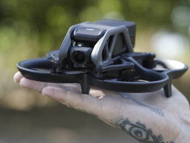
What Are Common Types of Drones for Professional Surveying?
Most professional surveyors, civil engineers, and GIS professionals today rely on either quadcopters or fixed-wing drones to tackle a variety of surveying projects. Below are some of the most popular drone options currently on the market:
DJI Phantom 4 RTK
The DJI Phantom 4 RTK is an upgraded version of the company’s much-loved Phantom 4 platform — a surveyor-friendly model. The newly designed integrated RTK module gives the Phantom 4 RTK the ability to gather surveying and mapping data with centimeter-level accuracy while requiring fewer ground control points.
senseFly eBee X
The senseFly eBee X is the ideal drone for surveyors in the market for a fixed-wing option. With an impressive maximum flight time of 90 minutes, the senseFly eBee X can cover up to 500 hectares (1,235 acres) at up to 400 ft while remaining accurate down to 3 centimeters (1.2 inches), all without the need for any ground control points.
DJI Matrice 300 RTK SP
The DJI Matrice 300 RTK SP comes jam-packed with a host of advanced AI and aviation features such as six-directional sensing and positioning, UAV health management system, IP45 weather-resistant enclosure, self-heating battery, and an impressive transmission range of over nine miles. It does it all while remaining in flight for up to 55 minutes.
DJI Inspire 2
The DJI Inspire 2 is hyper agile, capable of accelerating from 0 to 50 mph (80 kph) in just 5 seconds, reaching a top speed of 58 mph (94 kph), as well as achieving a max descent speed of 9 m/s. It also features a self-heating dual battery system and an all-new image processing system capable of capturing 5.2K footage in CinemaDNG RAW, Apple ProRes, etc.
Additional accessories and payloads for surveying drones
You may want to enhance your surveying drone with the following accessories:
Surveying software
Finally, you’ll also need dedicated software for surveying purposes. Below, you’ll find two leading software options on the market today: