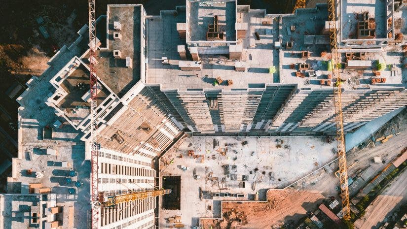
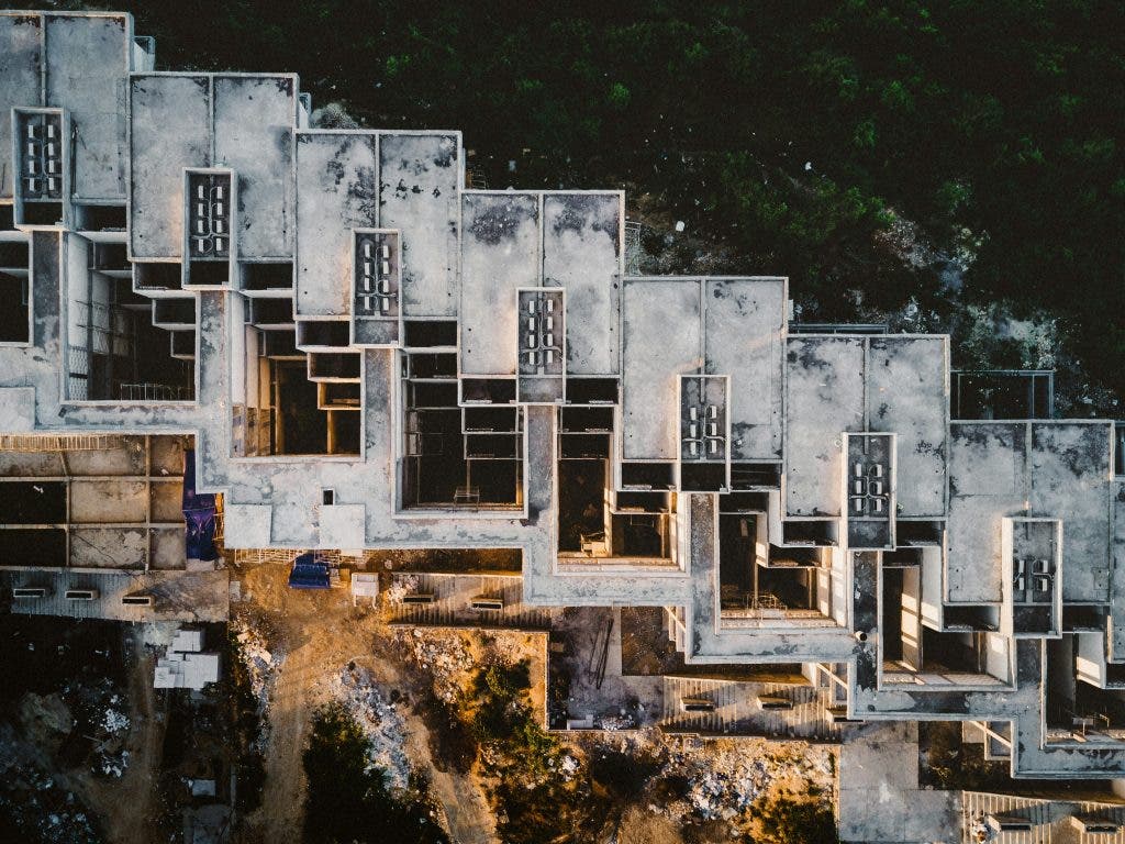
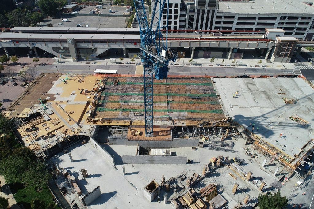
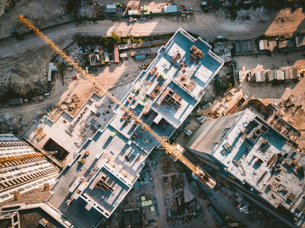
Drones in construction was an otherwise unlikely combination, but it’s taken the construction industry by storm. From site surveys to earthwork reporting, these nimble flying cameras are changing how projects are executed.
No matter your profession (drone photographer, architect, or even a construction manager), understanding how drones help in construction is a need. So, let’s dive deep into the world of drones in construction and answer all your burning questions!
What type of drones are used in construction?
Actually, you can’t just grab any drone off the shelf and expect it to match this type of task. The unpredictable world of construction sites requires drones with muscle — those built to handle complex data collection, tough environments, and sometimes just heavy-duty flying. Typically, drones used in construction fall into two main categories: multirotor drones and fixed-wing drones.
Multirotor drones, also referred to as the classic quadcopter type, are the agile little acrobats of the drone world. They hover in one spot and capture highly detailed images and videos of specific areas, making them perfect for inspecting tricky spots like rooftops, scaffolding, and tight corners. These drones are ideal for photographing the progression of a new build or inspecting areas that might be difficult or dangerous to reach. For example, this drone by DJI:
On the other hand, fixed-wing drones are more like your long-distance marathoners. These drones are built for endurance, designed to fly over large areas, collecting big-picture data. Their airplane-like design allows them to soar over extensive construction sites, such as highways, industrial complexes, or sprawling housing developments.
Here’s a little construction tip: construction firms often equip drones with advanced sensors like LiDAR (Light Detection and Ranging) or RGB cameras. LiDAR is the go-to for creating detailed, three-dimensional maps and models, ideal for understanding the topography of a site before breaking ground. Meanwhile, drones with RGB sensors (the kind that capture everyday color images) are used for visual documentation, giving teams a clear, colorful snapshot of the site as it progresses.
What are the benefits of drone projects?
Drones are really out here changing how construction projects are managed. With everything they’ve shown us thus far, drones have showed us that they can improve almost every aspect of the construction process, and here’s how:
Safety first!
No one needs to be scaling dangerous heights or navigating hazardous conditions when a drone can fly over the site in minutes. Whether it’s checking out structural work on a high-rise or inspecting that unstable roof, drones take over the risky tasks. For workers who’d rather keep their feet on the ground, drones are literal lifesavers, reducing accidents on the job site.
Time is money — and drones save both.
Before drones, site surveys could take days (at the very worst case, even weeks). With a drone, you can cover an entire job site in hours, swooping in and out like a worker bee on fast forward. Imagine that! You get all kinds of useful data: images, measurements, heat maps — you name it! Plus, all that data can be processed in (almost) real-time. That means construction managers can make quicker decisions that help keep the project moving.
Drones are also cost-effective.
Traditional methods often require renting expensive equipment or paying specialized labor to conduct surveys, inspections, or monitoring tasks. By replacing some of these with drone flights, construction companies can cut costs significantly — saving on both manpower and machinery. Less risk, less expense, and more streamlined operations.
Accuracy
Drones are data-gathering machines. With their fancy high-end sensors, drones can map out a site down to the last square foot. They can spot potential issues that the human eye (or ground-based survey tools) might miss. The result? Fewer surprises down the road, fewer delays, and ultimately a smoother, more efficient project.
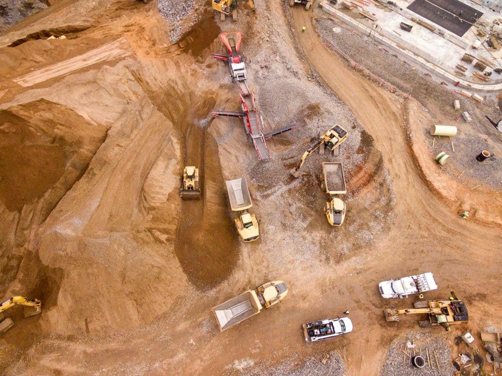
What is earthwork reporting?
Earthwork reporting is how teams keep track of all the dirt being moved around on a site. But no, we’re not just talking about piles of dirt. Earthwork involves calculating volumes, grading terrain, and making sure the site is prepared.
Drones make earthwork reporting a breeze. Fly a drone over the site, collect all the data you need, and consider it done! And with 3D mapping software, drones calculate the volume of earth moved — or that still needs to be moved — with unbelievable accuracy. With the software, managers can plan excavation and do work much more effectively.
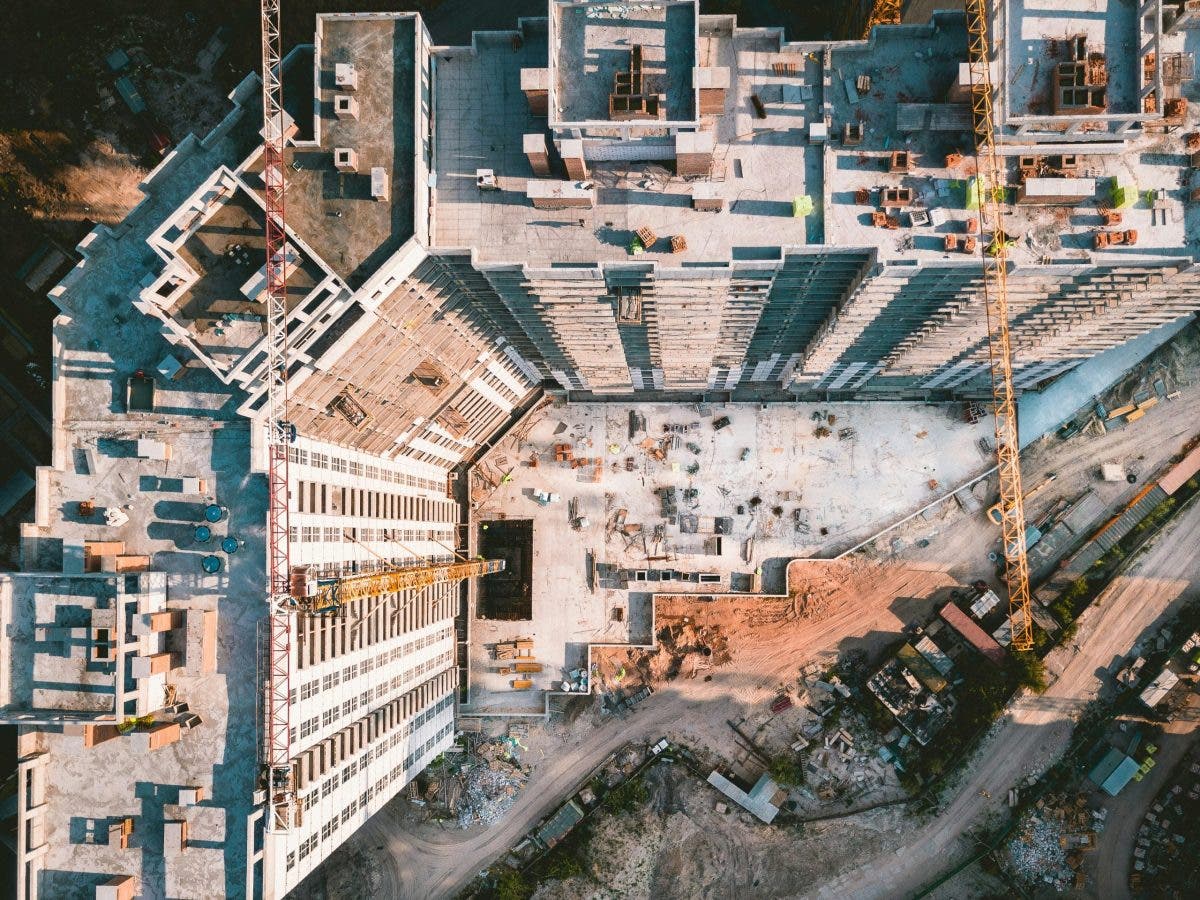
What are site surveys?
Site surveys are when you gather all the data needed to make informed decisions about how to proceed with the build. This part is usually done at the beginning of the project. Back then, surveys were done with a lot of manual labor. It involved a lot of measuring tools and would often take a considerable amount of time. Enter drones — the game-changer in modern surveying.
Drones perform site surveys much faster and with far greater accuracy than traditional methods. They create topographic maps that give a detailed look at the land’s contours, helping engineers understand the elevation and natural features of the site. This is essential for deciding where to lay foundations, plan roads, or install utilities.
FAQ: Drones in Construction
Yes! As long as they comply with the local aviation authority regulations, including the Federal Aviation Administration in the U.S. Pilots also need to have a Part 107 certification, and the drone itself must meet safety standards.
It depends on the project. For large-scale projects, daily flights may be necessary to monitor progress. For smaller sites, drone surveys once a week or during specific phases would be best.
Not entirely. Human expertise is still needed for interpreting the data, verifying the results, and handling complex situations.
Most drones used in construction have a range of up to 5 miles, but it depends on the drone model and its specifications.
Popular software includes Pix4D, DroneDeploy, and AutoCAD Civil 3D. These platforms do detailed mapping, 3D modeling, and earthwork reporting.
Drones in construction: A long-needed solution
Drones in construction are much more than flying image capture machines, they’re valuable tools that save time, cut costs, and improve safety. Enjoy drones as a photographer capturing construction progress or a project manager tracking earthwork! No matter your role in the project, they offer a fresh perspective and smarter solutions to age-old construction challenges.