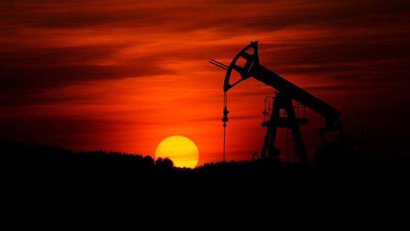
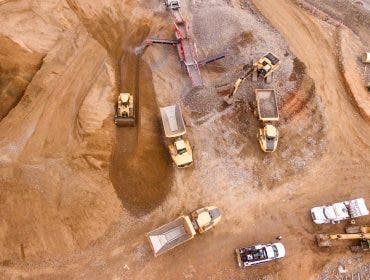
Unmanned systems and drones are new technologies employed by many oil and gas firms. Drones have made inspection, surveillance and leak detection much faster, safer, and cheaper than ever before, and firms are capitalizing on the new opportunity.
Why Are Drones Useful For Oil and Gas Firms?
- Safety: Drones keep inspection engineers off the equipment and out of dangerous situations.
- Reduced Risks: As unmanned vehicles, drones can fly very close to assets and infrastructure.
- Save Time: Large quantities of data can capture in minutes.
- Improved Process: Drones can remove OSHA (Occupational Safety and Health Administration) requirements for adjusters in the field.
- Reduced Costs: Drones help to reduce operational costs by replacing human effort and increasing accessibility.
- Efficiency: Drones provide the opportunity to capture large-scale datasets faster and more effectively than manual alternatives.
How Are Drones Being Used By Oil and Gas Firms?
Asset Inspections
Attached with powerful cameras, thermal imaging and modeling software, oil and gas firms can create precise 3D models and digital twins in minutes, allowing for faster and more manageable large-scale inspections of pipelines, exterior surfaces, sub-surfaces of storage tanks and marine vessels. Additionally, some fixed-wing aerial drones can fly upwards of 40mph and fly several hours on a single charge, making long-distance inspections more feasible than ever before.
Aerial Surveillance
Remote monitoring is one of the most common ways drones are currently being used for oil
and gas companies. For manned assets, this can commonly be seen in monitoring tankers, trucks, equipment and other infrastructure, providing a unique 360-degree view. Remote monitoring
is also used to monitor unmanned production platforms or facilities under construction, offering engineers quick visual updates.
Detecting Leaks
To avoid methane leaks, companies are using new laser-based sensors to detect and identify compromised material faster and cheaper than before. These sensors are attachable and detachable payloads which can mount on the bottom of drones, and flown closer to equipment, quickly and efficiently.
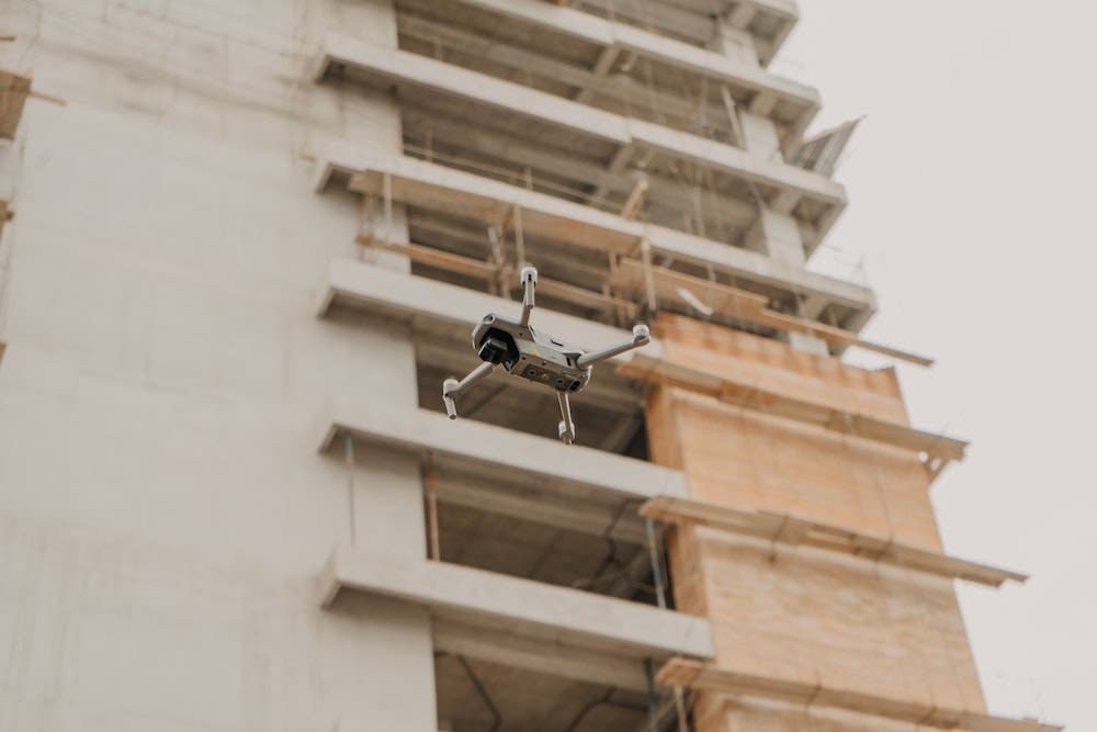
Emergency Response
Globally, drones are being used for emergency response and natural disaster monitoring, and oil and gas firms are no different. Drones provide a unique bird’s eye view in the event of a natural disaster or an industrial accident, allowing for faster decision making, response times and aid.
Handling & Moving Materials
Drone delivery is often seen in industrial applications, especially when crossing between land and sea. Drones can provide delivery of important equipment between land-based facilities and marine vessels, faster and cheaper than manned alternatives. While the payload weight has limitations and dependent on the drone, material management applications are present on oil and gas facilities for drones and UAS.
Integration with Artificial Intelligence
Artificial intelligence is providing oil and gas firms the ability to quickly evaluate photos at speeds never seen before. When paired together, drones and AI can revolutionize equipment inspections, saving time and resources.
What To Know Before Using Drones
FAA Rules & Regulations – Without a special waiver, current FAA regulations only allow drones to be flown during daylight hours, no higher than 400 feet and no faster than 100 miles per hour. Additionally, the aircraft must remain in the visual line of sight of the remote operator.
Costs of Setting Up a Drone Program – Flying a drone for commercial use requires training. While the benefits far outweigh the costs, it’s important for oil and gas firms to understand their goals and create a plan before purchasing hardware.
Risk of Lawsuits – Similar to any other collision, if a drone crashes, any harmed individuals may be able to bring upon a lawsuit. This further emphasizes the importance of training, and understanding the rules and regulations, so oil and gas firms can fly safely and compliantly.
How Can Adorama Business Solutions Help?
Top Vendors – Adorama Business Solutions has strong relationships with top manufacturers like DJI, Autel, FLIR, Flyability, senseFly, Yuneec, Draganfly and many more.
Training – Adorama offers numerous UAS training programs, from its in-house, ground-up drone training for Public Safety, to COA Development, SOP Development, photogrammetry, crime scene mapping, night and thermal operations and more.
Subject Matter Experts – Adorama Business Solutions employs and partners with dozens of drone industry experts, with vast arrays of experience. We help companies get started flying their missions—efficiently and compliantly.
Software & Payloads – Adorama carries many software solutions, and our experts can discuss the right software, hardware, camera and sensor pairings for the job.
Recommended Products
DJI Matrice 300
- Live Mission Recording
- AI Spot-Check
- Create Up to 65,535 Waypoints
- Set Multiple Actions for 1+ Payloads • Multiple Payload Configurations
- Infrared ToF Sensing System
senseFly eBee X
- RTK/PPK High-Precision on Demand
- 90-Minute Flight Time
- Absolute Horizontal/Vertical Accuracy Down to 3 cm
- Automatic 3D Flight Planning
- Max. Flight Range of 34 Miles
Autel 640T / Autel US Dual
- Radiometric 640 x 512 Thermal Sensor • 8K Ultra HD
- Greater Dynamic Range with 4K HDR
- 38 Minutes of Battery Life
- Open SDK
DJI Phantom 4 RTK
- RTK Module
- 1” CMOS Sensor
- GS RTK App
- 1cm+1ppm – RTK Horizontal Positioning Accuracy
- 1.5cm+1ppm – RTK Vertical Positioning Accuracy
DJI Zenmuse H20T SP Gimbal with Thermal Camera
- 20 MP Zoom Camera
- 12 MP Wide Camera with 82.9° DFOV
- 640×512 px Radiometric Thermal Camera
- Laser RangeFinder with 1200 m Max Range
- IP44 Rating
- -20°C to 50°C Operating Temperature
DJI U10 UAV Based Laser Methane Leakage Detector
- Detects CH4
- Up to 100m Detection Distance
- 25ms Response Time
- Stationary Detection Limit 5ppm.m
- Use alongside Zenmuse XT2, Z30 or X5S
- TDLAS (Tunable Diode Laser Absorption
- Spectroscopy)
Pix4D viDoc Rover
- Handheld Photogrammetry
- RTK Positioning Rover for 3D Scanning
- Synchronized with PIX4Dcatch
- Absolute accuracy within 5 cm
- Compatible with iPhone/iPad
SkyeBrowse
- Autonomous Drone Software Platform
- Makes < 1cm Accuracy 3D Models in under 2 minutes
Pix4D
- Photogrammetry Software Suite
- Flight App, Desktop and Cloud Platforms for Mobile and Drone Mapping
