Uncrewed aerial systems (UAS), more commonly referred to as drones, are used by many agencies and departments across the federal government on various missions. These missions are as varied as the agencies and departments that are deploying them. They can range from scientific research, environmental monitoring, aerial mapping, surveillance, disaster relief, search and rescue, and so much more.
Blue UAS
Before we explore select examples of how drones are being used by the federal government today, it’s important to recognize that the drones used by the federal government must comply with much more stringent regulations than those that govern hobbyist and commercial uses. This can lead to extra administrative burdens for end users. This is where Blue UAS comes in.
Blue UAS is an ongoing program spearheaded by the United States Department of Defense’s Defense Innovation Unit (DIU). Its mission is to efficiently vet and scale commercially available drones for use by the DoD and to reduce administrative burdens for end users. The program consists of 5 lines of effort that combine to catalog an ever-growing roster of commercially available drones that not only meet policy approval but also suit the varied needs of DoD users. Per the DIU, the 5 lines of effort are as follows:
Blue UAS Cleared List
A routinely updated list of DoD approved drones providing options for the evolving mission needs of government users. These drones are section 848 FY20 NDAA compliant. They are validated as cyber-secure and safe to fly, and are available for government purchase and operation.
Blue UAS On-Ramp
A streamlined approval and vetting process to enable the routine on-boarding of capable, secure commercial UAS into the government marketplace. The On-Ramp makes vetted drones available to government customers.
Blue UAS Hub
A Government website that provides comprehensive information on Blue UAS resources in one place for industry and Government stakeholders. It also addresses the latest OSD and service-level UAS policy to include clearly articulated and easy to navigate processes and requirements.
Blue UAS Foundry
DIU’s proven Commercial Solutions Opening process is used to rapidly prototype and scale new or existing UAS for unique government customer needs and continued iterative experimentation.
Blue UAS Framework
Interoperable, NDAA compliant UAS components and software that provide options for Government and industry partners. The Framework provides advanced capabilities to sUAS developers and reduces risk for government customers.
Be sure to check out the Blue UAS program for further details.
Examples of Federal Government Drones Use
Department of Defense (Army, Navy, Coast Guard, etc.)
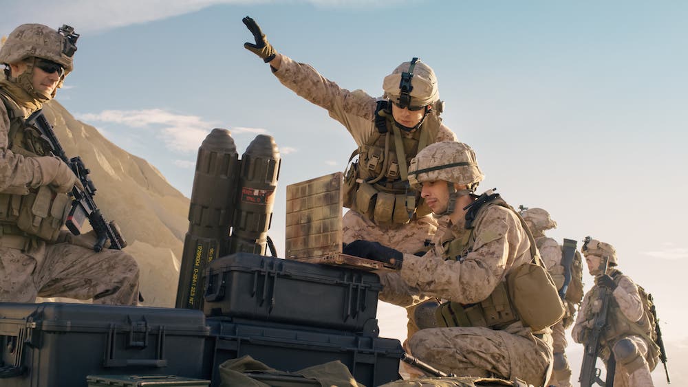
The Department of Defense (DoD) is currently using drones before, during, and after warfighting operations to gather intelligence, conduct reconnaissance, and provide real-time situational awareness about enemy positions, terrain, weather, and other mission-critical variables. This information can mean the difference between life and death for troops on the ground. Drones are also used to remotely eliminate terrorist targets without the need to put troops in harm’s way and directly engage with the enemy. In the aftermath of these combat operations, drones are used to remotely perform Battle Damage Assessments (BDA) to evaluate the overall effectiveness of said operations and to measure the amount of damage and potential collateral damages made.
The DoD also occasionally operates drones domestically, although only in a support capacity for Federal or State civilian authorities in Search and Rescue, and Incident and Awareness and Assessment (IAA) missions. These domestic DoD drone operations must adhere to very specific and stringent guidelines. Per the Secretary of Defense’s 2018 Policy Memorandum titled Guidance for the Domestic Use of Unmanned Aircraft Systems in U.S. National Airspace, domestic DoD drone operations must be approved by the Secretary of Defense, Secretaries of the Military Departments, or the Geographic Combatant Commander. The memorandum also prohibits the use of armed DoD drones in the United States with the exception of training, exercises, and testing purposes.
Civil and Federal Agencies (DHS, Dept of Interior, Environmental Agencies, etc.)
United States Department of the Interior (DOI)
The DOI manages over 500 million acres of public land across the nation. To manage all of this public land effectively and responsibly, the DOI requires the collection of significant amounts of scientific data. The DOI began flying drone missions in 2010 and has since flown 19,000 drone flights.
As of 2017, the DOI has invested $1.67 million and amassed a fleet of 563 drones (with 378 certified drone pilots). Though $1.67 million may seem like a large sum, it’s still significantly less than the cost of a single twin-engine aircraft. These drones also allow the DOI to complete their missions in 1/7th the time and at 1/10th the cost compared to traditional manned aircraft missions.
United States Department of Agriculture (USDA)
The USDA’s Agricultural Research Service is using drones to aid in its surveys of irrigation ponds and whether the water from said ponds (which can potentially contain E. coli and other bacteria) is safe to use on crops. The Agricultural Research Service is exploring drones equipped with visible light and infrared cameras to provide aerial coverage of irrigation ponds and to identify visual indicators of E. coli and other bacteria.
Federal Emergency Management Agency (FEMA)
FEMA, an agency within the United States Department of Homeland Security (DHS), has a drone team that uses real-time or near real-time photogrammetry, live video, infrared (IR)/thermal imaging, LIDAR, and augmented reality (AR) technology to provide situational awareness to assist in disaster relief and search and rescue efforts. IR allows rescue workers to detect warm bodies that are invisible to the naked eye (such as those trapped within buildings or thick vegetation). AR technology is especially helpful during flooding situations. Information such as street names and house numbers can be overlaid onto the drone feeds, helping rescue workers locate civilians.
